test
PROJECT GEOHAWK
University of Kansas Geography 726 Remote Sensing Mission to Near Space
This class has been tasked with designing, constructing and launching a remote sensing platform into near space and finding applications for the imagery acquired. The project is continually evolving and this blog will be a forum to publish our progress.
8.5.11
21.4.11
PHOTOSYNTH OF BALLOON IMAGES
The stitching is "south-side up". To view this requires Microsoft Silverlight.
10.4.11
LAUNCH PHOTOS : E-5 BALLOON PLATFORM

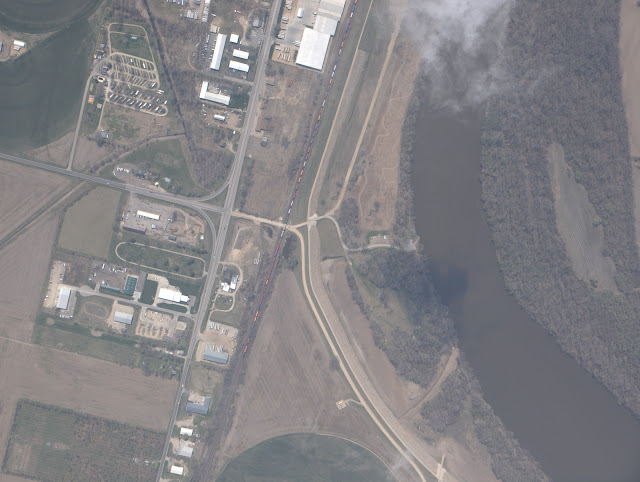
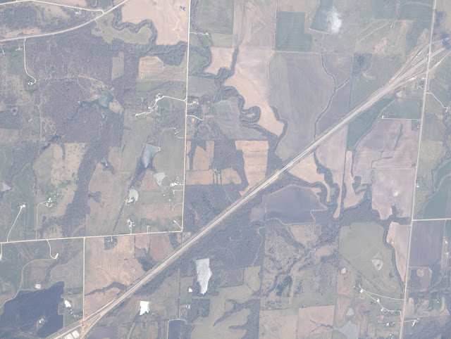
Click on the above link to view these following pictures on Picasa. Please note that the following images are in their raw form. They were taken in .ORF format. Then uploaded through Picasa's program to the site. A limit was used of 1600 pixels width during this process. So these are not the entire quality of the E-5. Merely uploaded for your viewing pleasure. The images are also not oriented properly along cardinal lines yet. So many known targets appear several times from varying angles. A few key highlights are the intersection of 9th and Iowa, the Lawrence Airport, Lawrence Memorial Hospital, the Kansas River, the East Lawrence Turnpike entrance/exist, the rest stop on I-70, and the Downtown Kansas City Airport. Feel free to spot some more and leave a note in the comments section. At a certain point during our accent, condensation started to form on the lens. This becomes apparent in the images of Kansas City towards the end of this post. Notice the increasing haze with each successive image. This is more apparent in the tiled view on the Picasa page. While there was some swing and angle to many images, it is a real testament to the picavet system that there were no images of the horizon. Enjoy! & Share!!!
- - - - - - -
We did it! It took several months of planning and hard work from the entire team. Everyone deserves a big pat on the back. We will prepare to launch again soon and hopefully resolve some of the issues we had on our first flight.
- robert anderson -
All of the following images were capture on an Olympus E-5 but compressed using Picasa's uploader program. We will post again georectified and corrected images in the near future. Please understand that our class members are currently conducting their Phase II projects and more images and descriptions of Phase II procedures and materials will be made available here on this blog.
9th & Iowa
Subscribe to:
Comments (Atom)


