


photos by ryan callihan
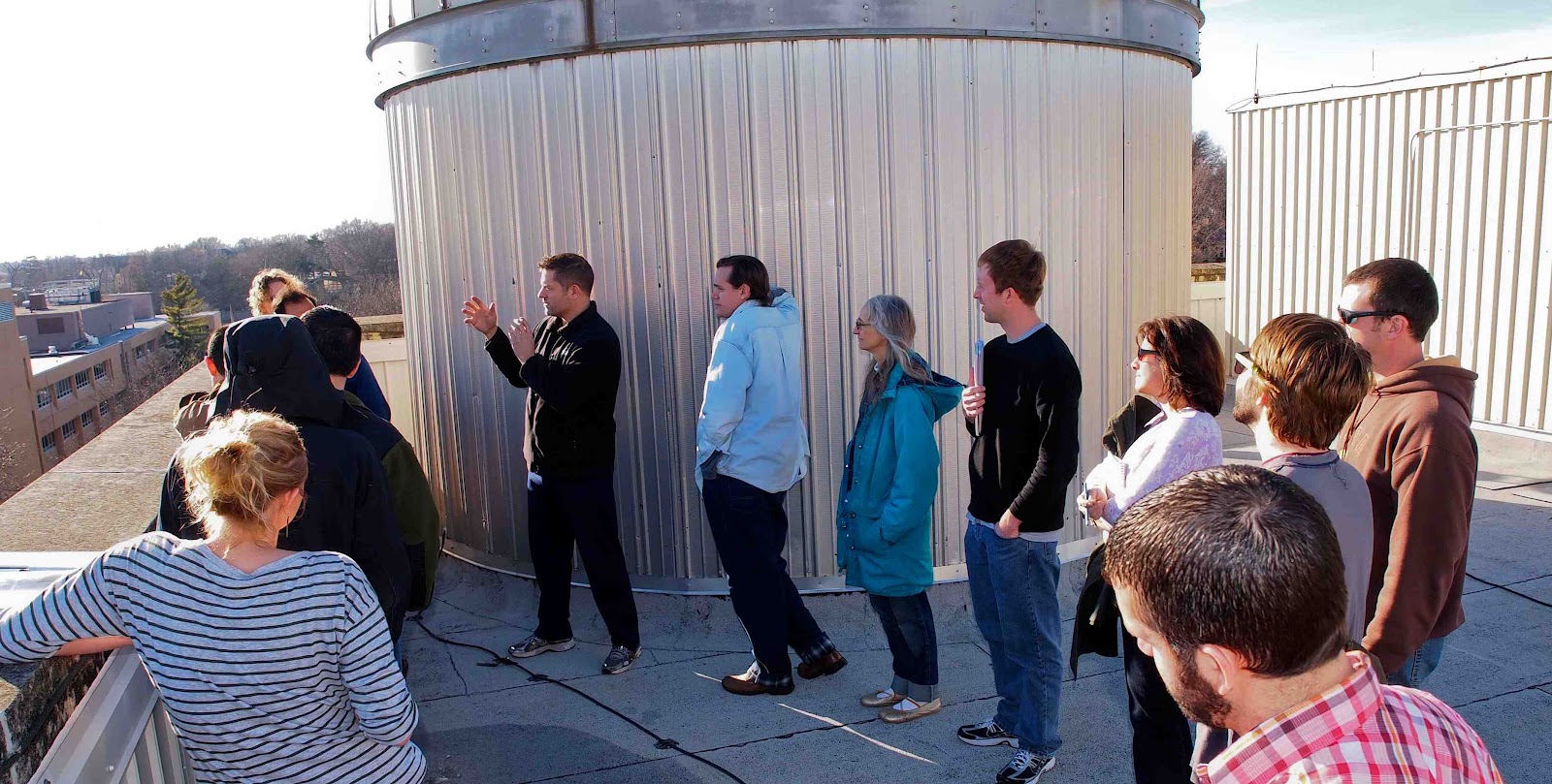
. . . . . . . . .Yesterday, class went up to the top of Lindley Hall to discuss the atmospheric disturbances that will challenge the interpretation of our imagery. The view to the south at first glance appeared to be quite clear. But, towards Clinton Lake the increasing "haze" was evident in successive hills to the south by southwest (between McCollum Hall and the southern ridge of the Wakarusa Valley). A photo was taken with our Olympus E-5 with a high horizon in an attempt to capture this effect. The photo was taken towards the sun. A water tower just a few miles south was also photographed. It came out surprisingly well with a clear shadow opposing the sun. A well-known large American Flag on 23rd street appeared faded in its color even at a modest distance. Instructor Dobbs asked us to imagine a way we could simulate the column of air that our camera will experience with a comparative horizontal distance on the ground. This could prove valuable for calibrating our data.
- robert anderson -
No comments:
Post a Comment