
. . . . . . . . . . . . . . . . . . . . . . .

brandon mans the board
lisa describes the picavet mechanism

sketch of launch parts

working in teams

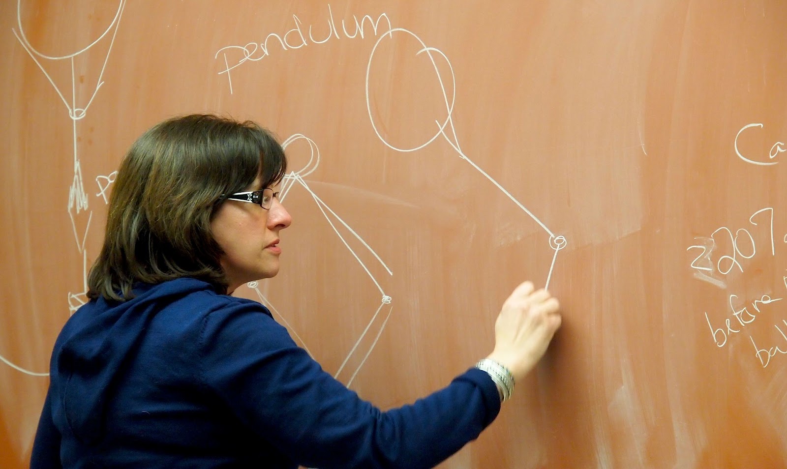
brandon explains the pendulum issue related to cord length

rough list of weights

just a few people missing from this photo

the cooler is too large
photos by ryan callihan
. . . . . . . . .
Today we presented where each team was at with their component part schematics. The issue of geo-tagging the images was a concern. The use of a GPS logging device was discussed. This involves synching the time stamps of the camera and the GPS logger, then after retrieval of the unit it will be merged with the image time stamps and the images will be geo-tagged. Again the issue of the off-nadir camera came up. A cell-phone is our next concern and addition that is not part of our current schematic. Also, the cooler for the project is too large. Robbie will try to get another few sizes of coolers that will be more appropriate for the mission. But perhaps it will come in handy for the celebration after our first launch.
-robert anderson
No comments:
Post a Comment